File:600 BC Map of Mesopotamia.jpg
From ChaldeanWiki
Revision as of 08:17, 3 May 2019 by Chaldean (Talk | contribs) (User created page with UploadWizard)
No higher resolution available.
600_BC_Map_of_Mesopotamia.jpg (736 × 414 pixels, file size: 75 KB, MIME type: image/jpeg)
Summary
| Field | Value |
|---|---|
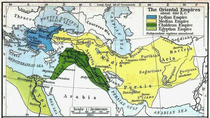
| Description | English: 600 BC Map of Mesopotamia and Chaldean empire
|
| Date | 2019-05-03 08:15:59 |
| Source | Own work |
| Author | Chaldean |
| Permission | |
| Other versions |
Licensing
This user has published this image under the following licence: cc-by-sa-4.0
File history
Click on a date/time to view the file as it appeared at that time.
| Date/Time | Thumbnail | Dimensions | User | Comment | |
|---|---|---|---|---|---|
| current | 08:17, 3 May 2019 | | 736 × 414 (75 KB) | Chaldean (Talk | contribs) | User created page with UploadWizard |
- You cannot overwrite this file.
File usage
The following page links to this file: